

Land Survey Sevices | jasa survey tanah pengukuran
Land Survey Sevices | jasa survey tanah pengukuran - Hallo sahabat Manfaat Jasa Pemetaan untuk Berbagai Sektor di Indonesia., Pada Artikel yang anda baca kali ini dengan judul Land Survey Sevices | jasa survey tanah pengukuran, kami telah mempersiapkan artikel ini dengan baik untuk anda baca dan ambil informasi didalamnya. mudah-mudahan isi postingan Artikel Layanan Diskusi dan Jasa, yang kami tulis ini dapat anda pahami. baiklah, selamat membaca.Judul : Land Survey Sevices | jasa survey tanah pengukuran
link : Land Survey Sevices | jasa survey tanah pengukuran
Survey Services & Land Survey Indonesia
Call: 0822-1515-2011 or Email: Email
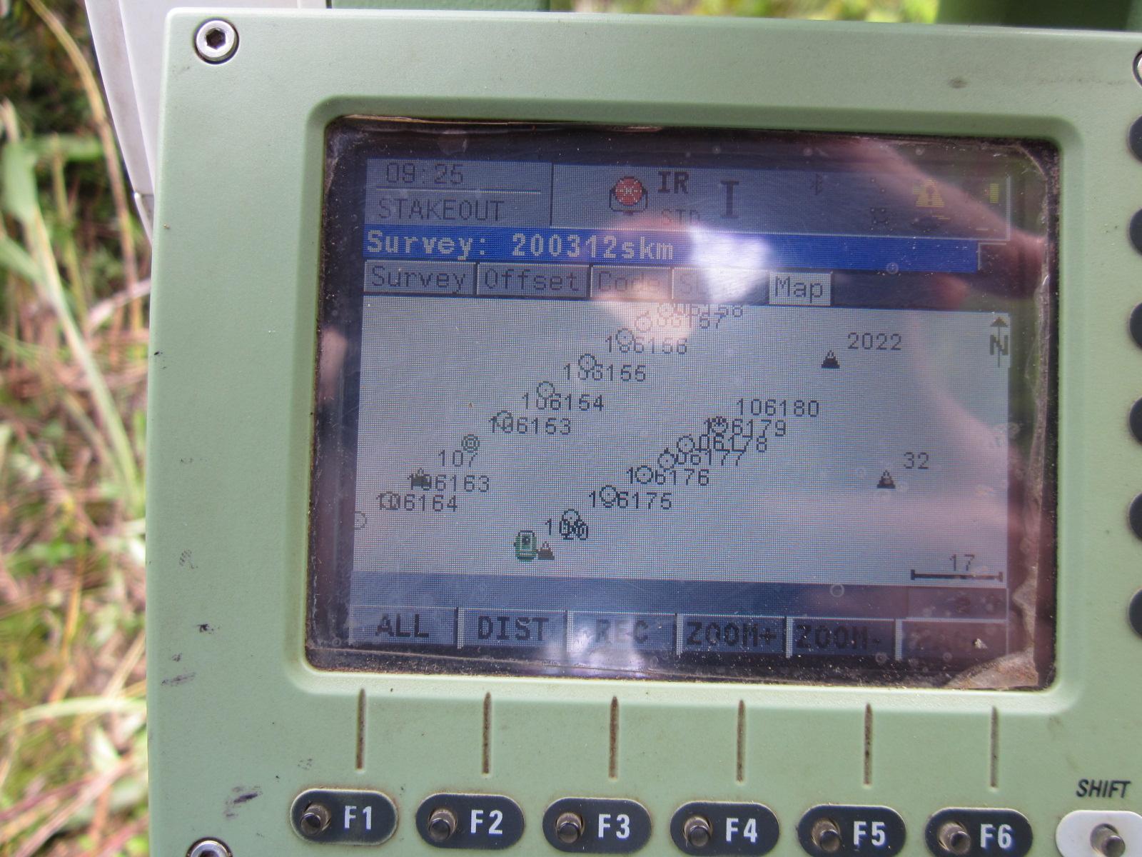 |
| Staking Out Plan Viewer With Leica Total Station |
Receive survey services to all parts of Indonesia and surrounding areas, we have experienced team and reliable technicians in the field of survey with the support equipment in accordance with the work in the face.
in every job can be sure to meet the criteria of work according to standard operation (SOP) either accurately or safely
every member who follow survey work either local surveyor or surveyor from head office and local helper
we can carry out survey work in both urban, rural and remote areas according to the ongoing project,
and are used to managing local members in targeting as well as daily, weekly and monthly work plans
in construction work, we provide a surveyoe, assistant and Cad Engineer as document support and drawing
We can serve:
--------------------------------------------------------------------------------------------------------------------------
1. Survey Services:
- Topography Survey || Land Surveying Indonesia
Early stage measurement work to map specific areas and integrate from BIG / bakosurtanal reference points and local, and create contour lines according to project needs
1. 2D & 3D Cad mapping
2. Baseline For excavation and embankment planning
3. The basic point for the determination of Elevation
4. Planning of drainage channels
etc.
--------------------------------------------------------------------------------------------------------------------------
- Survey Construction || Construction Services
Construction Services Supported with adequate Human Resources, and supported
by electronic equipment we can serve on construction projects
With Total Station equipment is accurate 1 "- 5" and can scan objects without material manufacturer
(reflectorless System) Distance range 100 - 1000m.
we can serve construction survey work to:
1. Structure & Monitoring
2. Search point, setting point of building, and leveling of structure / building construction
5. Installation of precast steel / steel construction
6. Horizontal and vertical control
7. Pipe Works
8. Recording with electronic equipment, recap of construction data, data processing, control, checking and reporting daily, weekly and monthly results
we understand about the size or small of a project being implemented if serving long time project we provide office location, Cad engineer, and PC computer construction Specification in one unity of construction team.
--------------------------------------------------------------------------------------------------------------------------
-Hydrographic Survey
Along with the monitoring of the tide / river and up With the following construction, we can do its function
1. Feasibility Study, Design and construction work survey techniques
2. Port Plan
3. Surveyor loading and unloading Fasiilitas (Conveyor)
4. Ship navigation channel
5. Monitor dredging activities and so on.
6. Wave retaining wall (Breakwater)
7. Sub Bottom Profiler (Jasa SBP)
--------------------------------------------------------------------------------------------------------------------------
- Lidar Survey services | Drone Mapping Photogrametry UAV Survey - GIS air survey service (Geospatial Information)
With detailed planning of aerial photography using an unmanned aircraft, the work is controlled by a reference point by a geodetic gps
Ground Control point & RTK Method is integrated with photographic data, and air data as various functions and references to assist Client plans.
Our engineering of aerial photography (UAV-Survey) is done using Unmanned aircraft with crystal clear camera facilities and high pixel support softaware, and aircraft movement using supporting software on computer / laptop.
Professional processing and quality control (QC) teams can display contour, photo and coordinate data.
--------------------------------------------------------------------------------------------------------------------------
- Land Investigation || Technical Geology | Geotechnical & Underground Surveying
Drilling / soil investigation / sondir / drill jobs to support the planning process of a development as an investigation of land carrying capacity:
1. Selection of Foundation Type
2. Land Supporting Capacity for Foundation
3. Evaluation of Structural Deformation
4. Determination of Construction Methods
--------------------------------------------------------------------------------------------------------------------------
- SURVEY GPS
Observation of measurement points to determine Reference of Rigid Measuring Monument (BenchMark / BM), As Topographic Mapping, Stake Out Point Lookup and Determining Reference Surve Nets
--------------------------------------------------------------------------------------------------------------------------
- Rekayasa Engineering & Design:
Civil Planning & Work Control & Implementation:
1. Housing and Non-Housing Development
2. Highway Design and Planning
3. Road and Bridge Design
4. Road Access to the mine site
--------------------------------------------------------------------------------------------------------------------------
Base Office at Bandung City
Services Around of Indonesia
Tidak Ada Komentar